Between Oroville and Quincy California runs Highway 70. For much of the journey, the highway runs along the Feather River. We call this area Feather River Canyon, and it is one of the most beautiful drives I’ve ever taken. I’ve shot photos in the Canyon, and have taken a bit of video. But when it was time to pick up a new GoPro Max 360° camera, this drive is the very first thing I wanted to film with it.
So that is exactly what I did…

This map (click to enlarge it) shows the route taken between Chico, California to Quincy, California, which travels up Honey Run Road, through Paradise California, and then along Highway 70, beside the Feather River, though the Feather River Canyon, to Quincy. With stops at Belden Town and Feather River college.
Leaving from Best Buy in Chico, I headed over to the Skyway and took that until I reached Honey Run Road. Much of the area along Honey Run Road was burned in the horrible Camp Fire that started in November of 2018. That fire destroyed most of the town of Paradise. That can be seen in some of the footage from Part 1 of this video.
After following Honey Run Road into Paradise, and journeying through the town, I finally reached Highway 70. Turning East, I followed the road up into the Canyon. Part 1 of the videos below shows the footage from the time I left Best Buy until I arrived at the part of the canyon that really starts to show off the beautiful creativity of the Creator of the Universe.
PART 1: Chico to Grizzly Creek Bridge
For Part 1, I sped the video up to compress over an hour of footage down to about 8 minutes or so. We leave the parking lot of Best Buy – where I’d just purchased the 360° camera – to Grizzly Creek Bridge, which is just past the rest area in the Feather River Canyon.
BELDEN TOWN – THE BRIDGE AND THE LODGE
From my experience, I’d really have to say Belden Town is a magical place. There is just something about it that makes everything seem alright. The air is clear. The Pacific Crest Trail passes through. The water is gorgeous. The sounds of nature abound. And what few people you run into, all seem to be friendly. I had to deviate from the path to make a quick trip across the beautiful bridge that leads to Belden Town Resort and Lodge. That is shown in the video. Don’t miss it. It’s a quaint little place.
TRAINS AND WATERFALLS AND CANYONS, OH MY!
This canyon has it all: beautiful waterfalls, trains passing along the tracks nearby, rocky canyons full of beauty… and the bridges? They’re gorgeous! If you enjoy taking long drives through beautiful scenery, take the time to travel Highway 70 through Feather River Canyon.
PART 2: Grizzly Creek Bridge to Quincy
Here is the second part of the video. For this part, I don’t have the camera racing through the footage at the same speed as the first video. It’s still sped up, just not as much. This section of the drive is so gorgeous that it would be a shame to speed the camera up too much. The video ends at Feather River College in Quincy.
Leaving Quincy. The Camera Used. The Vehicle Used.
After arriving in Quincy, I had lunch at Jeffrey’s Pub and Grub. That was quite a treat! I highly recommend making a stop to experience it for yourself! I left the Pub to return home. Being the adventurous type, and not wishing to return the same way I came, I had checked Google Maps for alternate routes home. One was shown to take an extra 3o minutes. To me, it’s worth the extra time if I am able to see something different than I’d seen earlier. So when Highway 70 met Highway 89, where Spanish Creek and Indian Creek meet, I took a right turn to follow Highway 89. Here’s what it looks like at that intersection:

The rest of the trip, from Highway 89 to Highway 36 to Highway 32 and back to Chico, is something I’ll likely share in another article.
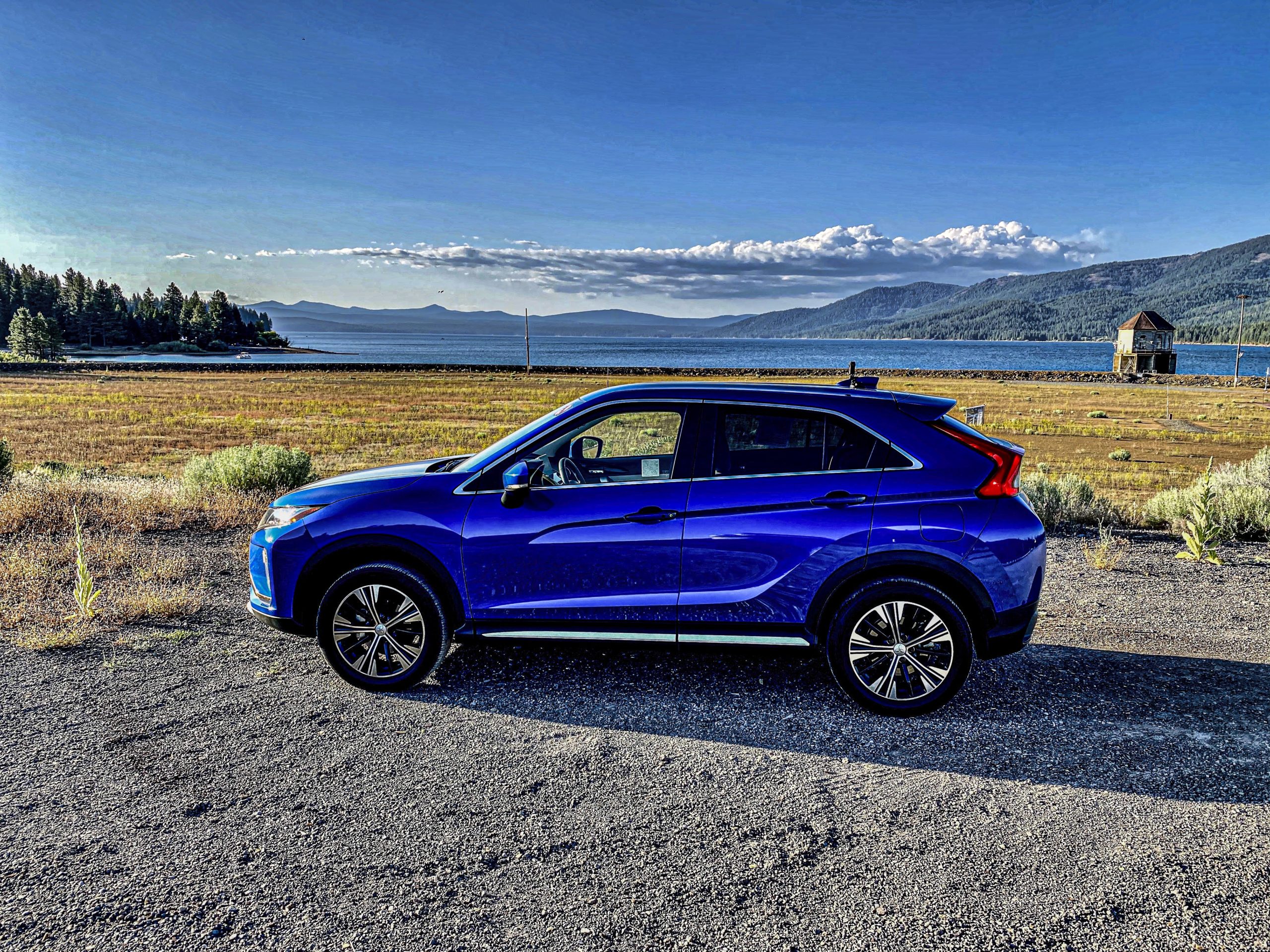
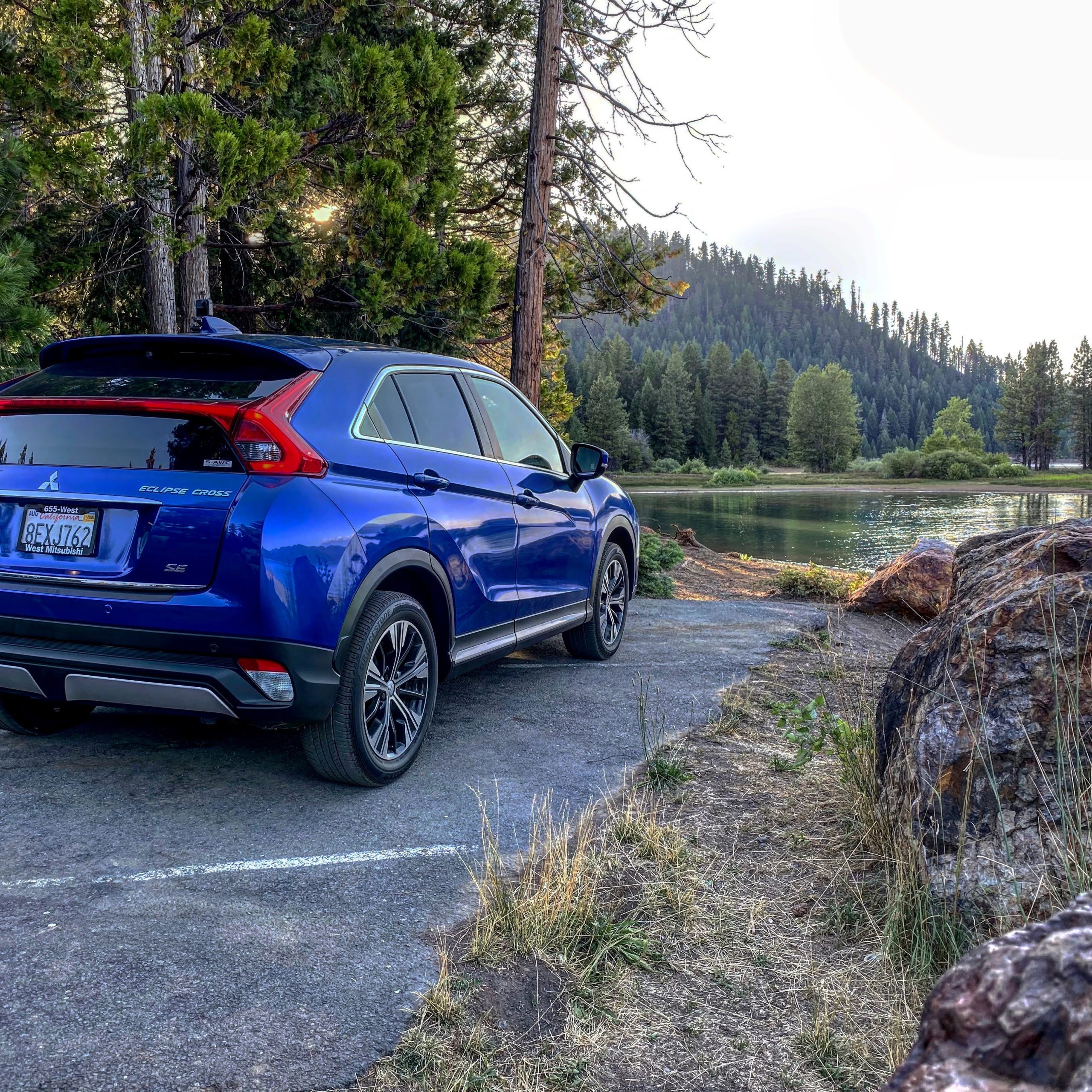
What follows are a few photos of the camera mounted to the roof of my exploration vehicle for the day: a 2018 Mitsubishi Eclipse Cross provided by West Mitsubishi. It happens to be for sale, so if it tickles your fancy, contact West Mitsubishi through their website or Facebook page to inquire about it.

My Chariot (Click Any Photo To Enlarge)
The chariot for my journey was a 2018 Mitsubishi Eclipse Cross, provided by West Mitsubishi in Orland, California. It is presently for sale. Contact them via their website or Facebook Page if you’re interested in it.